
Districts
Districts in Dominican Republic
Compare local context, explore the map and open the source guide for each district.
Approximate orientation points, not district boundaries or property locations. Every district remains accessible in the list. The guides below remain available if the map cannot load.
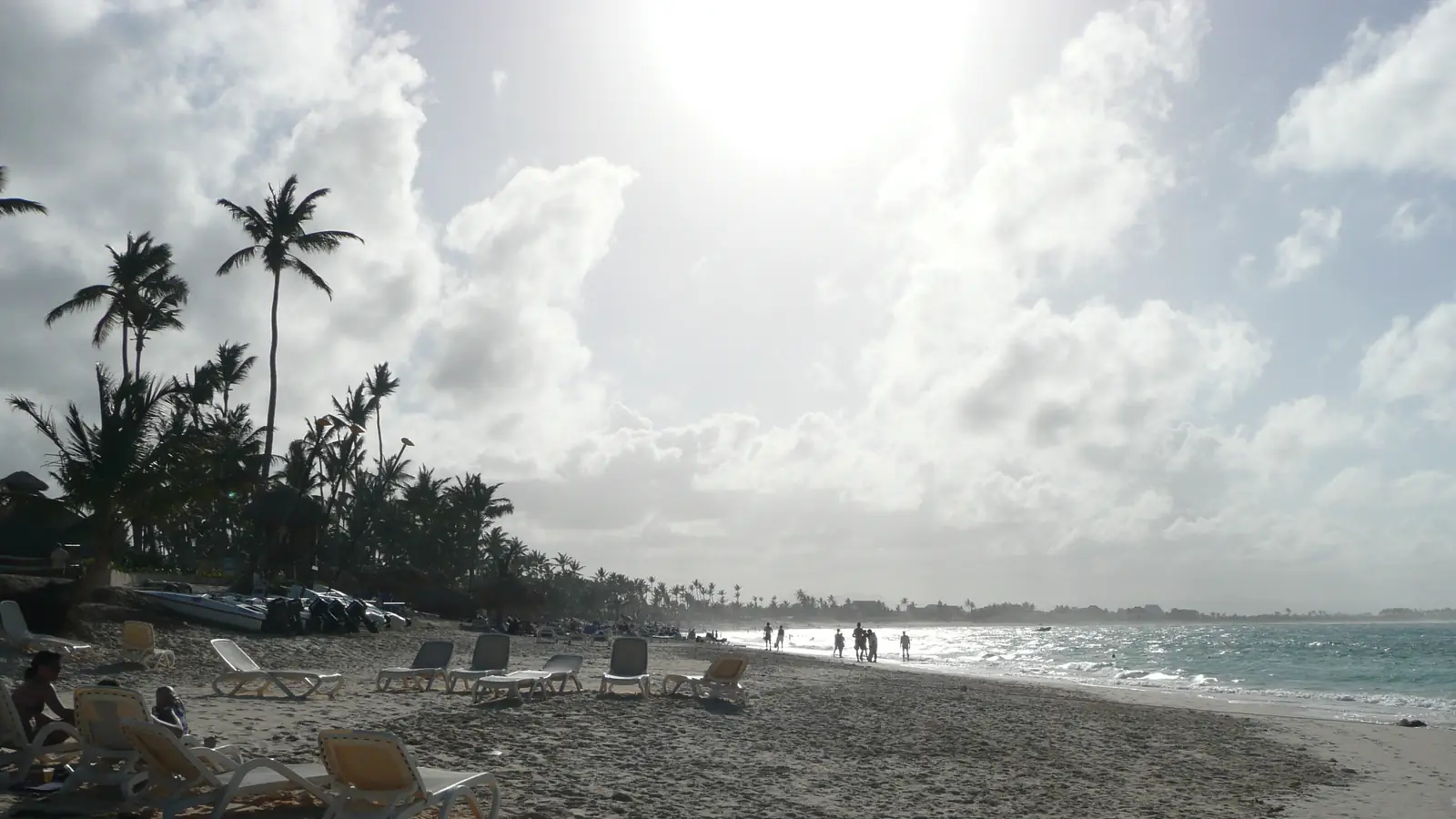
Punta Cana
Coastal place guide
Buildings1Place photograph · source · Public domainCropped, resized and encoded as WebP.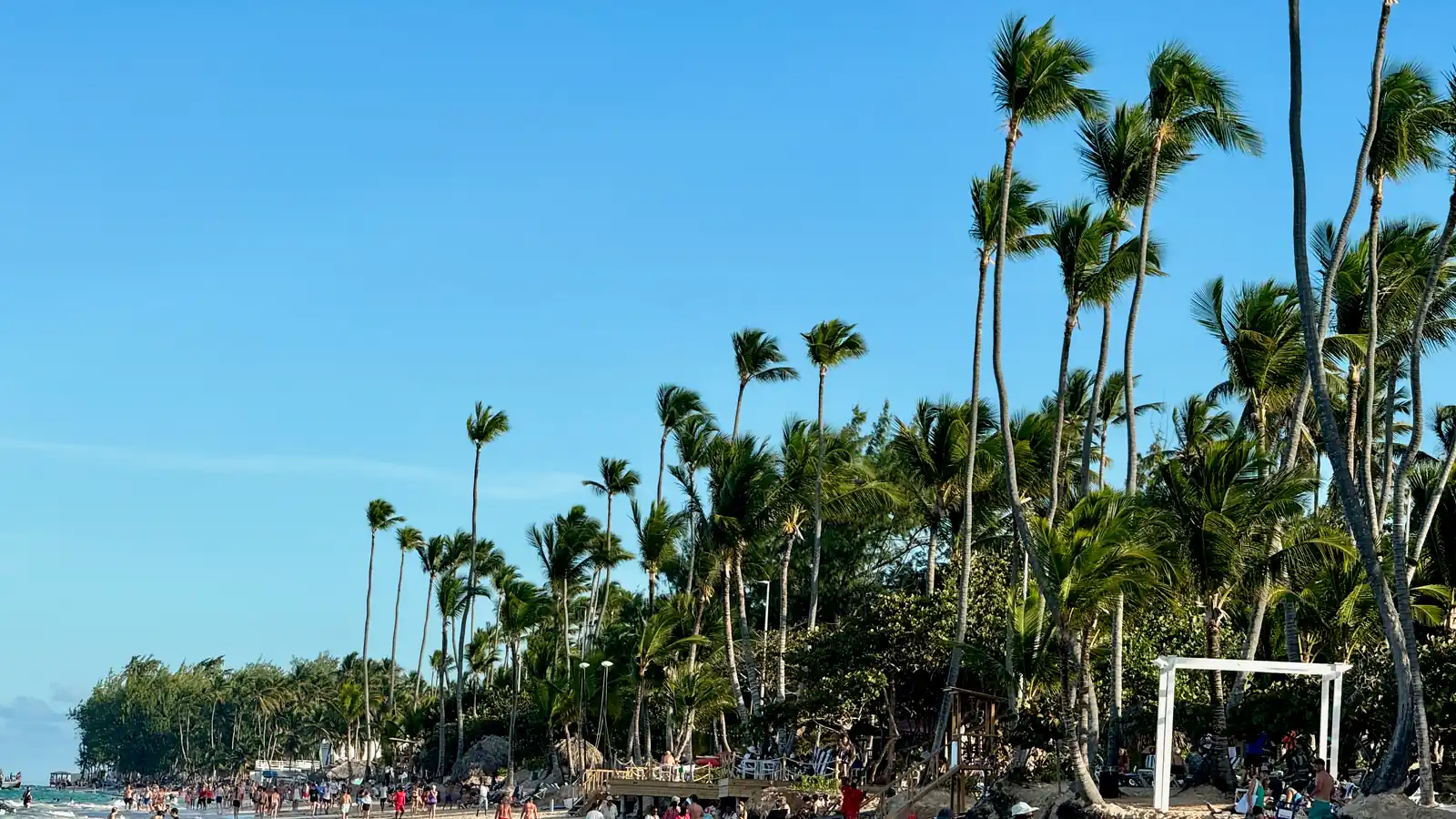
Bávaro
Coastal place guide
No listed buildings here yet.Oleg Yunakov / Wikimedia Commons — CC BY-SA 4.0Place photograph · source · CC BY-SA 4.0Cropped, resized and encoded as WebP.
Juanillo
Coastal place guide
No listed buildings here yet.uira (Flickr) / Wikimedia Commons — CC BY-SA 2.0Place photograph · source · CC BY-SA 2.0Cropped, resized and encoded as WebP.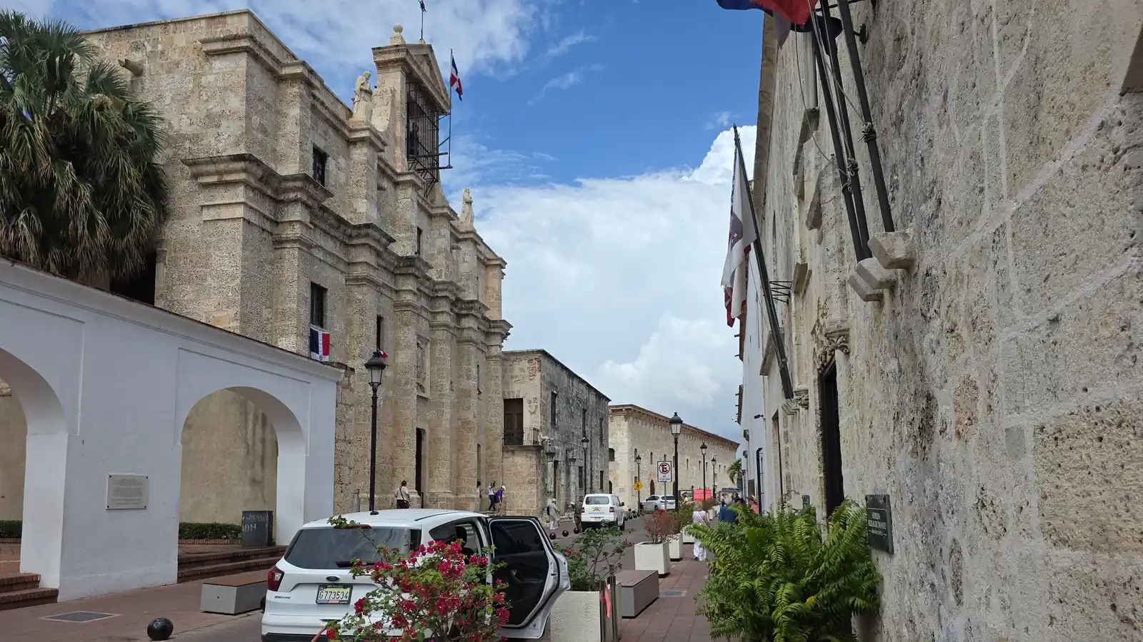
Santo Domingo
City guide
No listed buildings here yet.Place photograph · source · CC0 1.0Cropped, resized and encoded as WebP.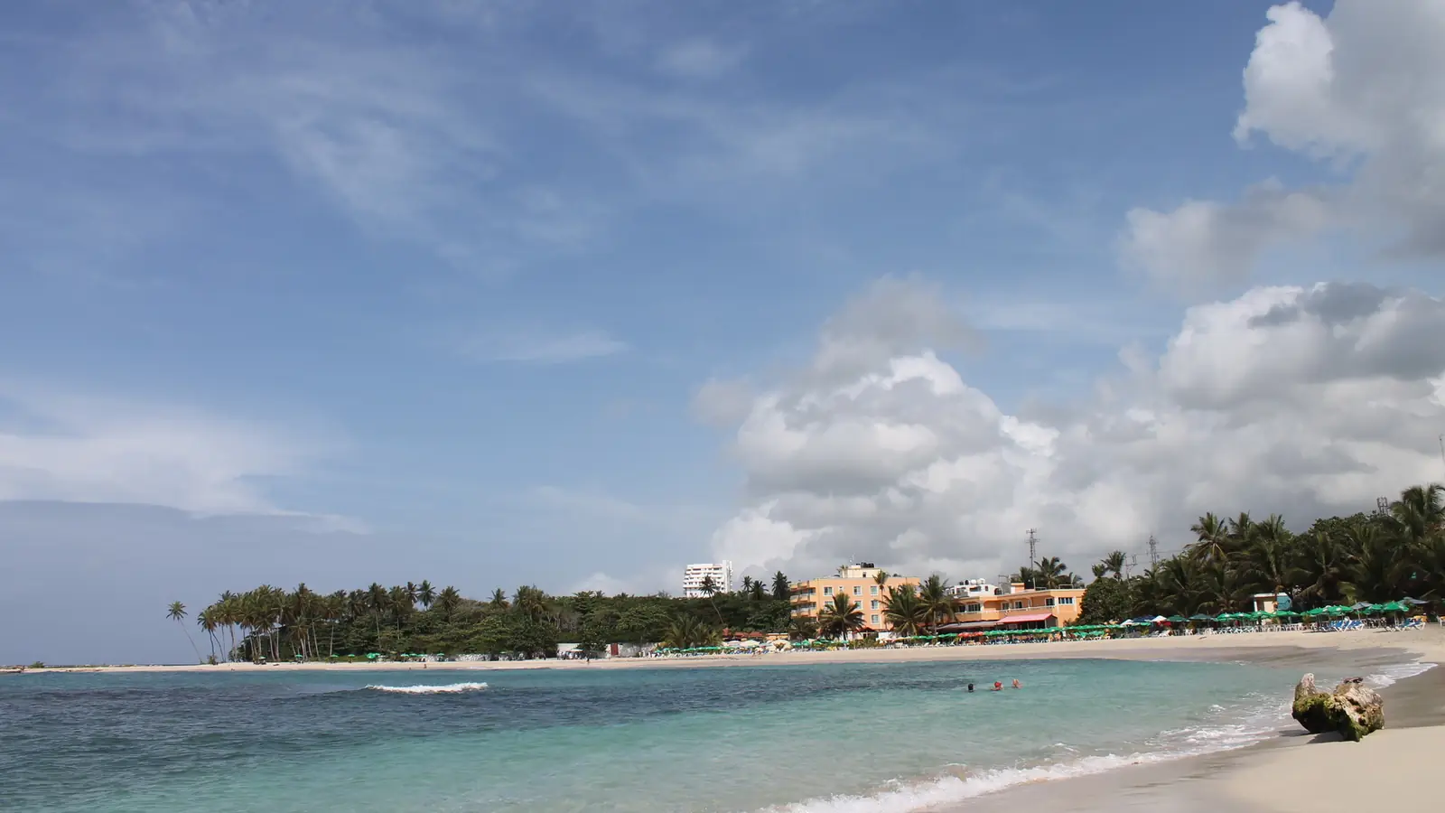
Juan Dolio
Coastal place guide
No listed buildings here yet.Fanarchiv / Wikimedia Commons — CC BY-SA 3.0Place photograph · source · CC BY-SA 3.0Cropped, resized and encoded as WebP.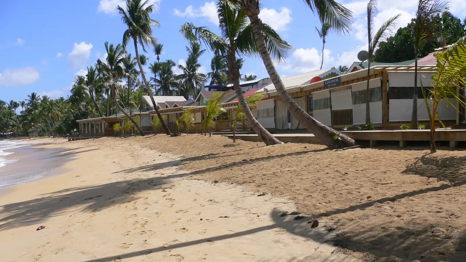
Las Terrenas
Coastal place guide
No listed buildings here yet.DanSy / Wikimedia Commons — CC BY-SA 3.0Place photograph · source · CC BY-SA 3.0Cropped, resized and encoded as WebP.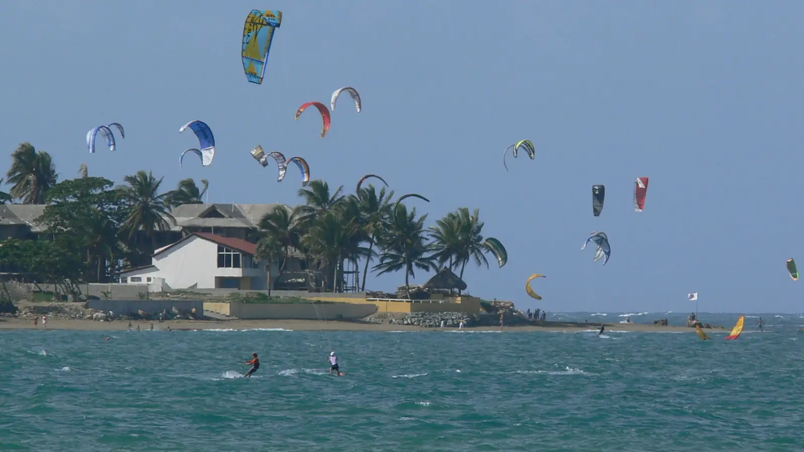
Sosúa–Cabarete
Coastal place guide
No listed buildings here yet.Reimar Hoven / Wikimedia Commons — CC BY-SA 3.0Place photograph · source · CC BY-SA 3.0Cropped, resized and encoded as WebP.